
Services we offer
Strategic Consulting
Radar chart of the ‘average’ drone program operational readiness compared to aviation standards. Interact with the chart here
Practical strategies for drone technology companies navigating regulatory complexity and market expansion.
Solutions include:
“Drone Program Readiness Check”
Safety Management System (SMS) development
Regulatory compliance translation (FAA, EASA, CASA, CAA)
Waiver/Certification strategy
Systems integration and development
Product requirements
Technical Services
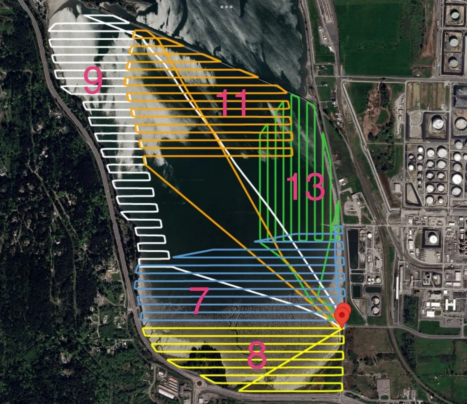
(Fidalgo Bay, WA) Conservation area RTK mapping. 500 acres, 1450 images & 75 GB of data collected within the low King Tide window.
Aerial data capture for inspection, mapping, and survey operations. US Government compliant UAS for sensitive projects and precision geospatial work with GNSS/RTK-enabled systems.
Verticals served:
Critical infrastructure
Utilities
Telecom
Construction (AEC)
Environmental impact
Research Development Testing & Evaluation (RDT&E)
Systems Training
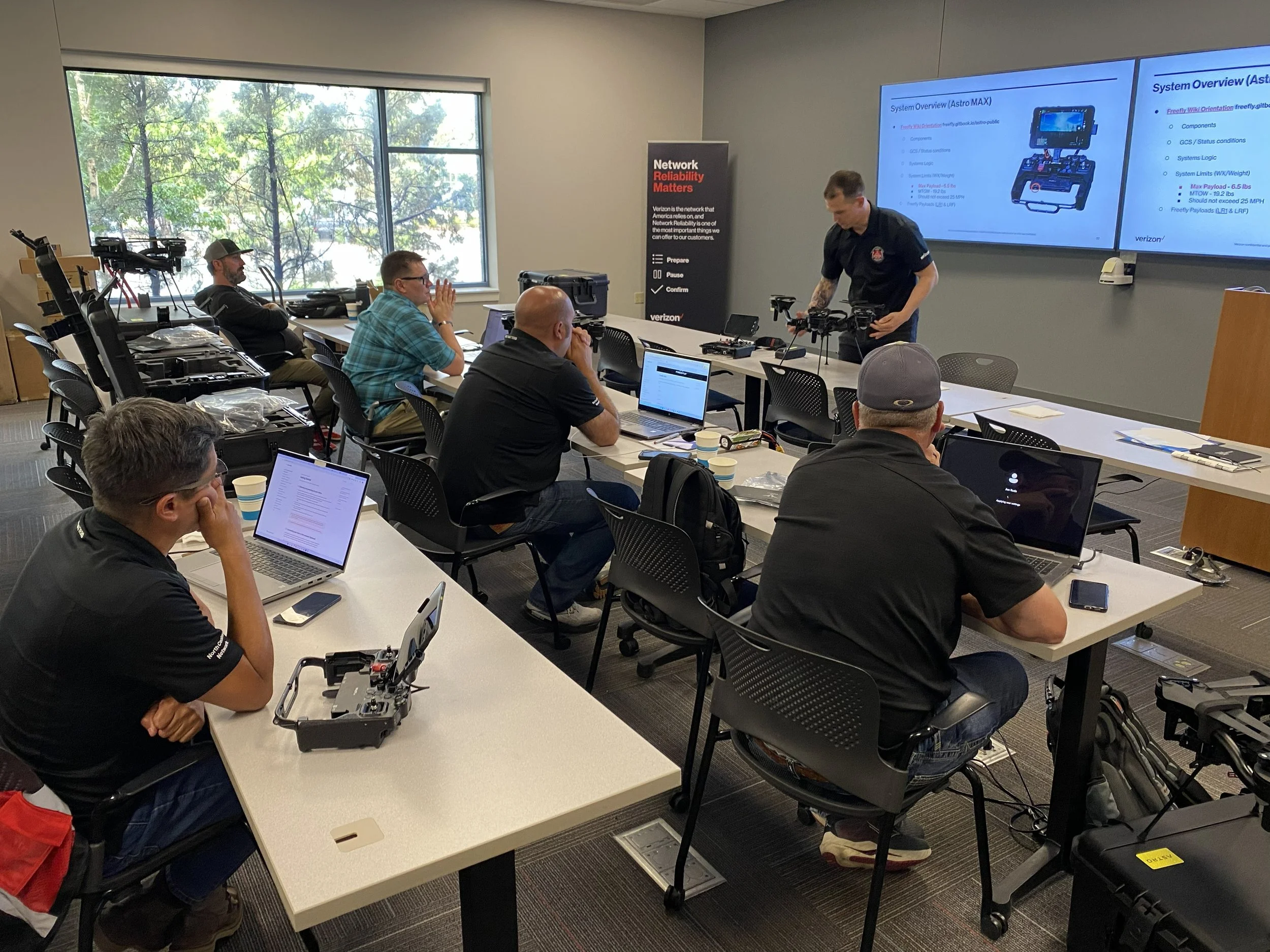
“This is the best training I’ve experienced in at least a decade...well done.”
Enterprise grade UAS training and pilot qualification programs. Custom curriculum development and design. Built to the unique needs for each organization to scale from startup operations to industry leading programs.
Subjects instructed:
Operational safety
Aviator skills (basic > advanced)
Critical infrastructure inspections
Telecom inspection and surveying
Mapping and precision geospatial tools
Advanced operations (BVLOS, Delivery, DFR, Multi UAS)